The Urubamba River: 862 km lifeblood of the Sacred Valley. Origin, geography, biodiversity, and how to experience it on tours.
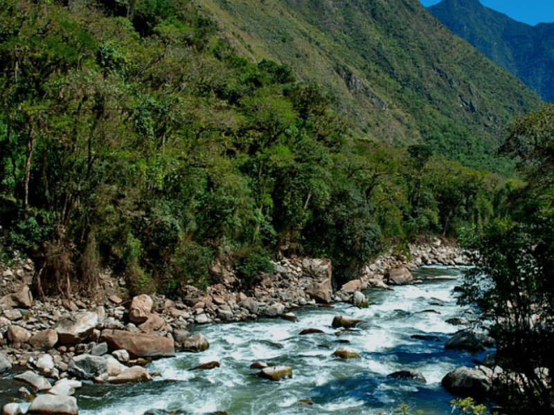
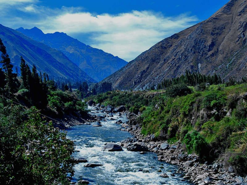
The Urubamba River, also known as the Vilcanota, is the lifeblood of the Sacred Valley. Stretching 862 km, it originates from the Cururana snowfield at 5,443 masl and feeds into the Amazon Basin.
Key facts
| Feature | Data |
|---|---|
| Length | 862 km |
| Basin area | 58,734 km² |
| Origin | Cururana snowfield (5,443 masl) |
| Highest point | Ausangate peak (6,384 masl) |
| Lowest point | Atalaya (240 masl) |
| Also known as | Vilcanota River |
| Etymology | Quechua "Urupampa" = spider plateau |
Why is it important?
The river protects three major areas: Machu Picchu Sanctuary, Megantoni Sanctuary, and Otishi National Park. It made the Sacred Valley one of the most fertile regions in the Inca empire, enabling diverse agriculture.
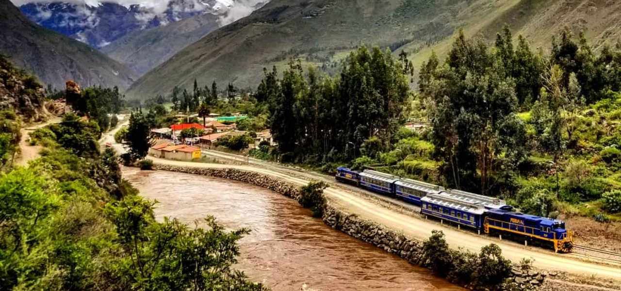
At Ollantaytambo, the river narrows through Torontoy Canyon — where Machu Picchu sits perched above. You can see this dramatic landscape on our Sacred Valley Tour.
Flora and fauna
The Urubamba basin hosts incredible biodiversity: torrent ducks, orchids, hummingbirds, pudu deer, and hundreds of butterfly species.
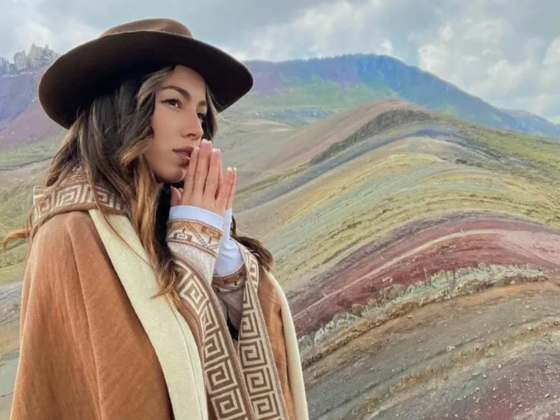
Experience the river
- Sacred Valley Tour — Follow the river through the valley
- Inca Jungle Trek — Includes rafting on the Urubamba
- Machu Picchu Tour — See the river from above
The Urubamba is not just a river; it is the artery that gave life to the Inca Empire and continues to nourish the Sacred Valley today.