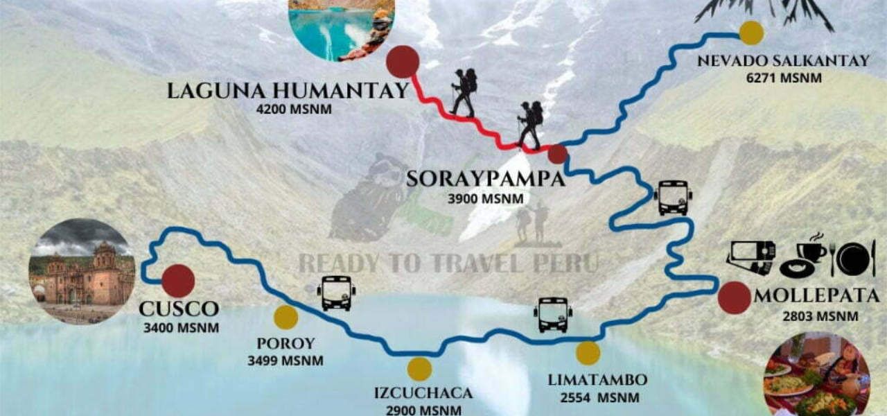
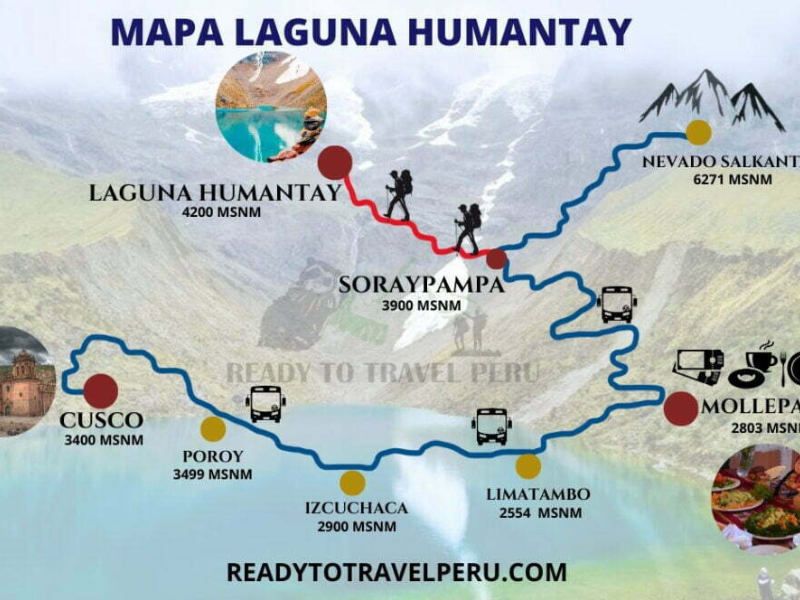
Humantay Lake Map: Route from Cusco to the Turquoise Lagoon
Ready to Travel Peru May 23, 2022 5 min read
Humantay Lake map: complete route from Cusco via Mollepata to Soraypampa. Distances, altitudes, stops, and hiking details.
The route to Humantay Lake follows a scenic path from Cusco through the Andes. Here's the detailed map with all stops, altitudes, and distances.
Route: Cusco → Mollepata → Soraypampa → Humantay Lake
Stop
Altitude
Distance from previous
Time
Cusco (start)
3,400 masl
—
—
Mollepata (breakfast)
2,803 masl
98 km
2.5 hours by bus
Soraypampa (trailhead)
3,900 masl
17 km
45 min by bus
Humantay Lake
4,200 masl
2 km
1.5 hours hiking
Key details
Total distance from Cusco: ~117 km by road + 2 km hiking
Total travel time: ~5 hours (including hike)
Altitude gain on hike: 300 meters (3,900 → 4,200 masl)
Road type: Paved to Mollepata, dirt road to Soraypampa
What to expect at each stop
Mollepata (2,803 masl)
First stop for buffet breakfast. This small town is the gateway to both Humantay Lake and the Salkantay Trek. Lower altitude than Cusco — good for acclimatization.
Soraypampa (3,900 masl)
The hiking trailhead. Here you can rent horses (S/ 70-150) if you prefer not to walk. Restrooms available. The Salkantay glacier is visible from here.
Advertisement
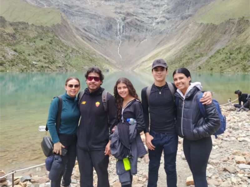
Humantay Lake (4,200 masl)
The turquoise-colored glacial lake surrounded by the Humantay glacier. Best visited before 10 AM when the water is calmest and the color most vibrant. Check our weather guide for the best time to visit.