Inca Trail to Machu Picchu Map: Routes, Days & Detailed Guide
Ready to Travel Peru May 29, 2022 8 min read
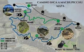
Detailed Inca Trail map: classic 4-day and short 2-day routes. Day-by-day breakdown with distances, altitudes, campsites and archaeological sites.
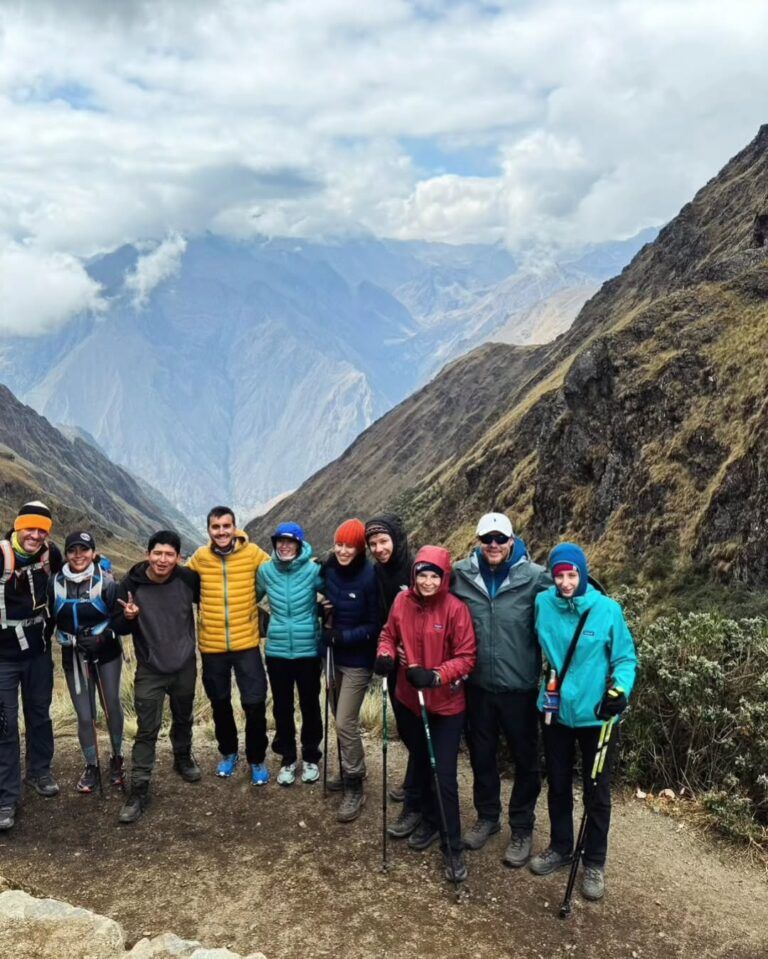
The Inca Trail to Machu Picchu is one of the world's most famous trekking routes. It follows part of the ancient Qhapaq Ñan (Inca road network) through mountains, cloud forests, and archaeological sites until reaching the Inca citadel through the Sun Gate (Intipunku). Here we show you the detailed map with both available routes.
Two Inca Trail routes
Two versions exist, both ending at Machu Picchu:
Feature
4-Day Inca Trail
2-Day Inca Trail
Distance
43 km
12 km
Duration
4 days / 3 nights
2 days / 1 night
Highest point
4,215 masl (Warmiwañuska)
2,700 masl (Intipunku)
Difficulty
Moderate-High
Moderate
Start
Km 82 (Piscacucho)
Km 104 (train)
Camping
3 nights in tents
1 night in hotel
Price from
$819 USD
Ask us
Classic 4-Day Inca Trail — Complete route
The 4-Day Inca Trail is the full experience. Trek 43 km of original Inca paths through archaeological sites, mountain passes, and cloud forests.
Day 1: Km 82 → Huayllabamba (13 km)
The trek begins at Km 82 (Piscacucho, 2,720 masl). A relatively gentle first day following the Urubamba River.
Llactapata (2,840 masl) — First archaeological site with terraces and Veronica glacier views
Huayllabamba (3,000 masl) — First night's campsite
Day 2: Huayllabamba → Pacaymayo (11 km) — The toughest day
The most demanding day. Cross Warmiwañuska Pass ("Dead Woman's Pass"), the highest point at 4,215 masl.
Warmiwañuska (4,215 masl) — Views of Salkantay and Veronica glaciers